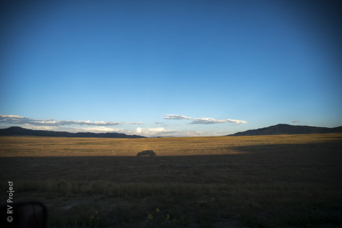
It is 6:30 in the morning and too hot to sleep anymore. We start driving towards the middle of Nevada in search of food and coffee, when we suddenly realize it is the 4th of July. Everything that might be open in middle-of-nowhere Nevada is sure to be closed. And the most nutrient-dense part of our dinner last night was potato chips (possibly because we chose to climb a multi-pitch in Toulumne late in the day, so all the eateries were closed by the time we finished). A couple hours later, our stomachs grumbling audibly, we pull into Tonopah – the only place that can be called a town for hundreds of miles. Tonopah was a bustling mining town…in the early 1900s. As we drive through, shuttered blind after closed door welcome us. Then, there was the Mizpah Hotel. It looks open, and they must have a restaurant. Right? We park the truck across the street and walk over. “Did you guys miss the Starbucks?” laughs a middle-aged lady as she leads two small dogs up the stairs of the Mizpah. “We’re just looking for some food and coffee,” I laugh nervously. My usual reaction when I don’t know how to react. “Well, you’ve come to the right place. We ate here this morning,” she opens the door and tells us where to find the Pittman Cafe. Hot coffee and a hot (and very American) breakfast followed. The Mizpah Hotel was originally opened in 1907, then after the mining boom left Tonopah, it slowly died. In 2011, it was re-opened by Fred…